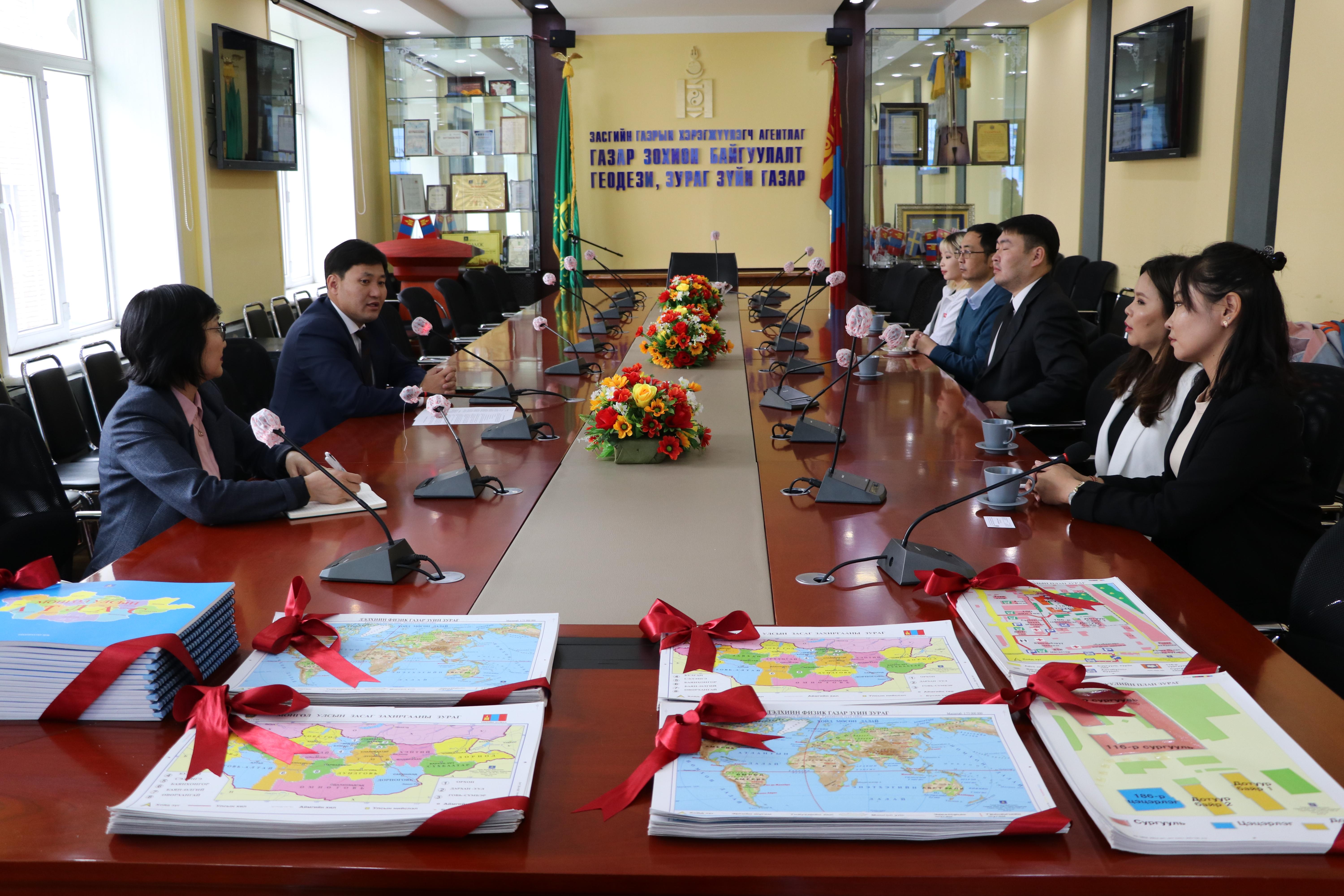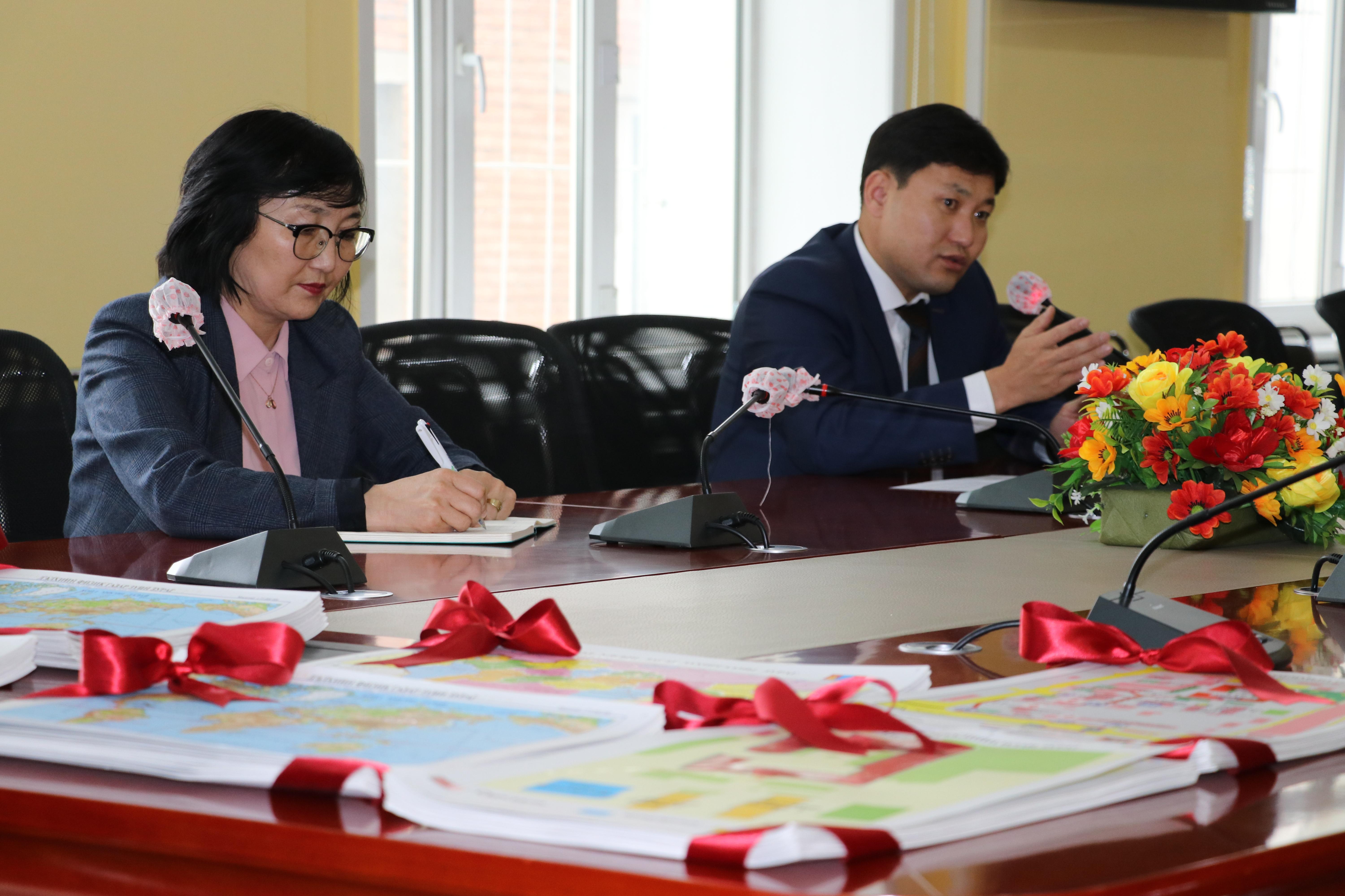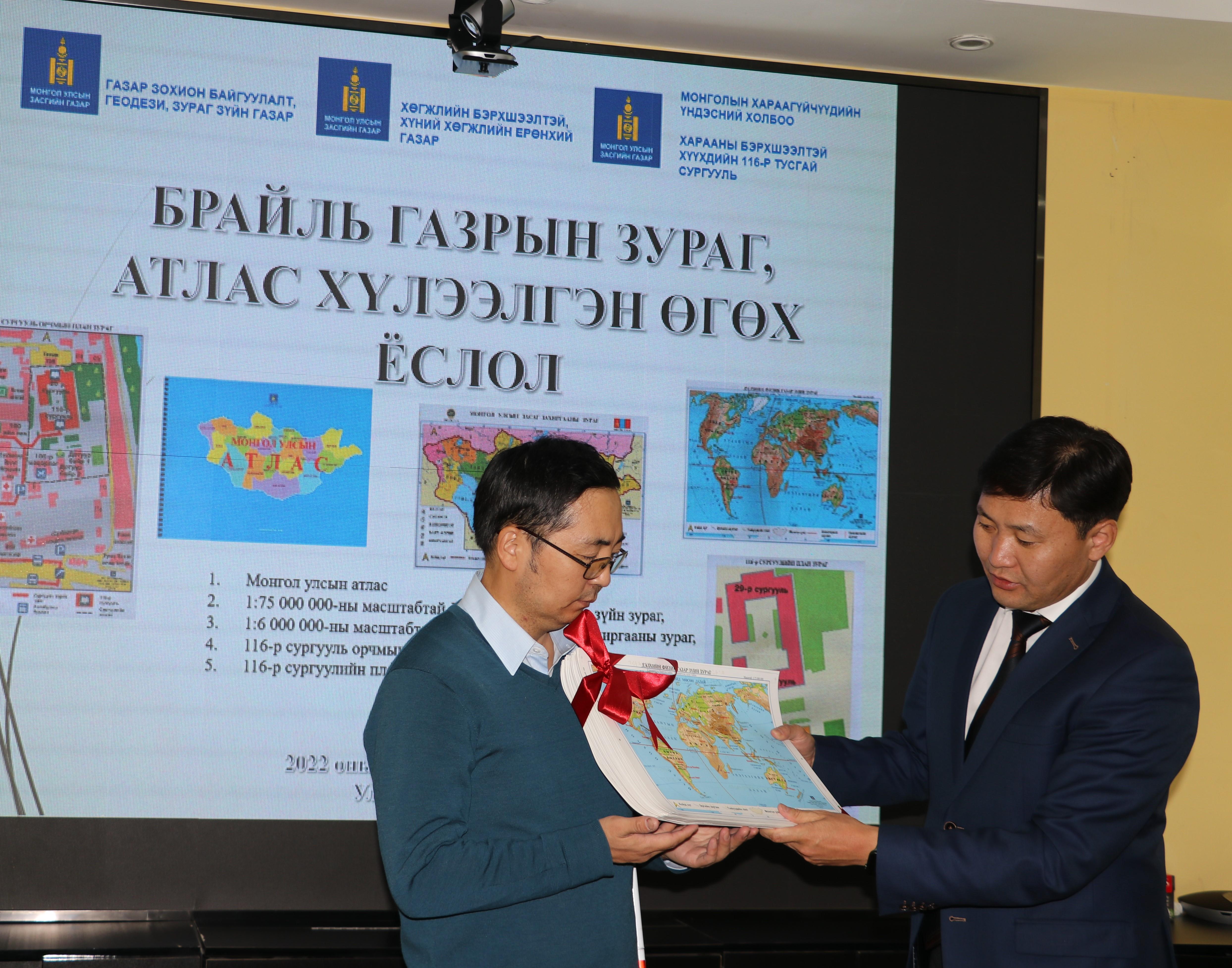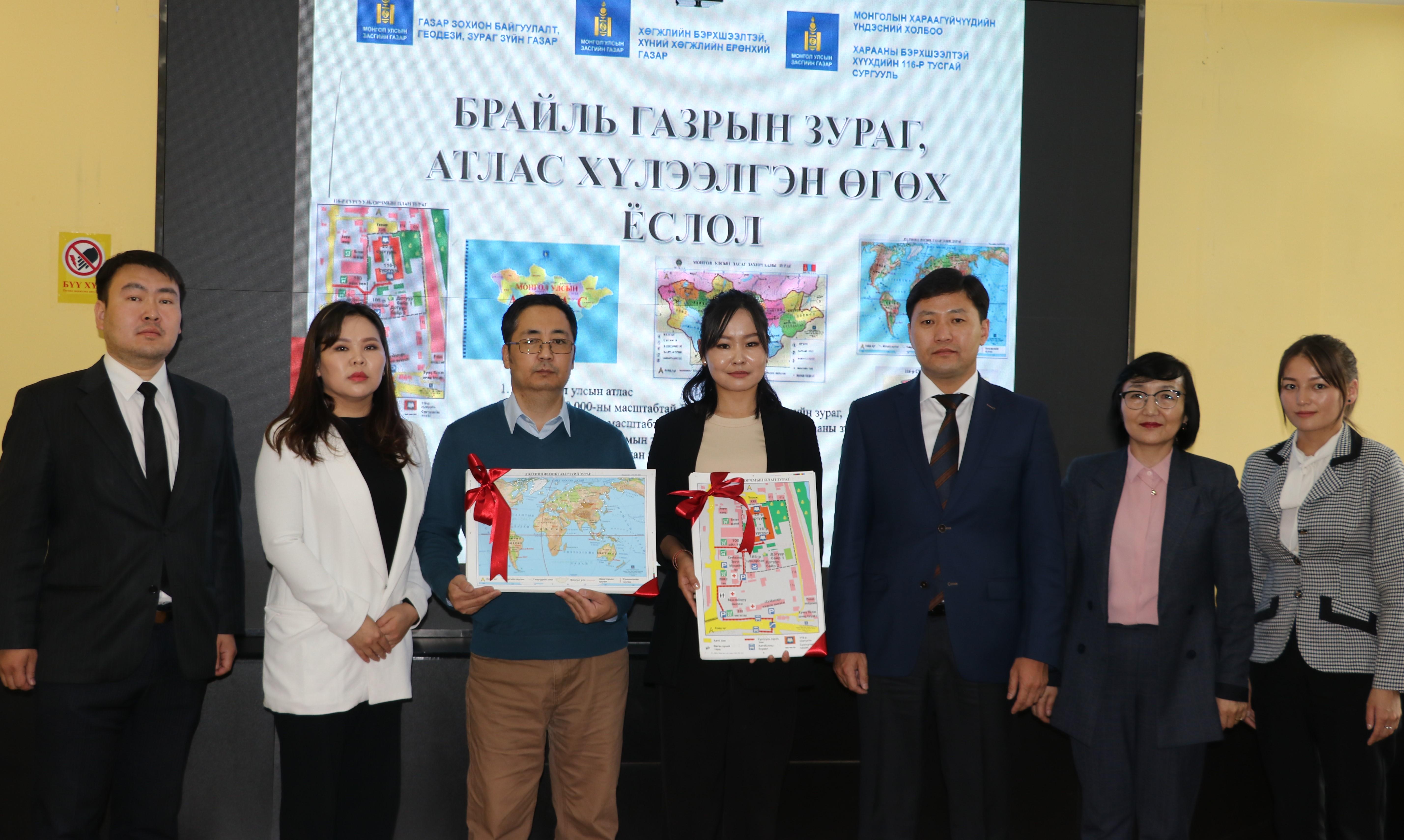
Braille map atlas handed over to National Agency for Development of Persons with Disabilities, Mongolian National Association of the Blind, Special School for Visually Impaired Children No. 116
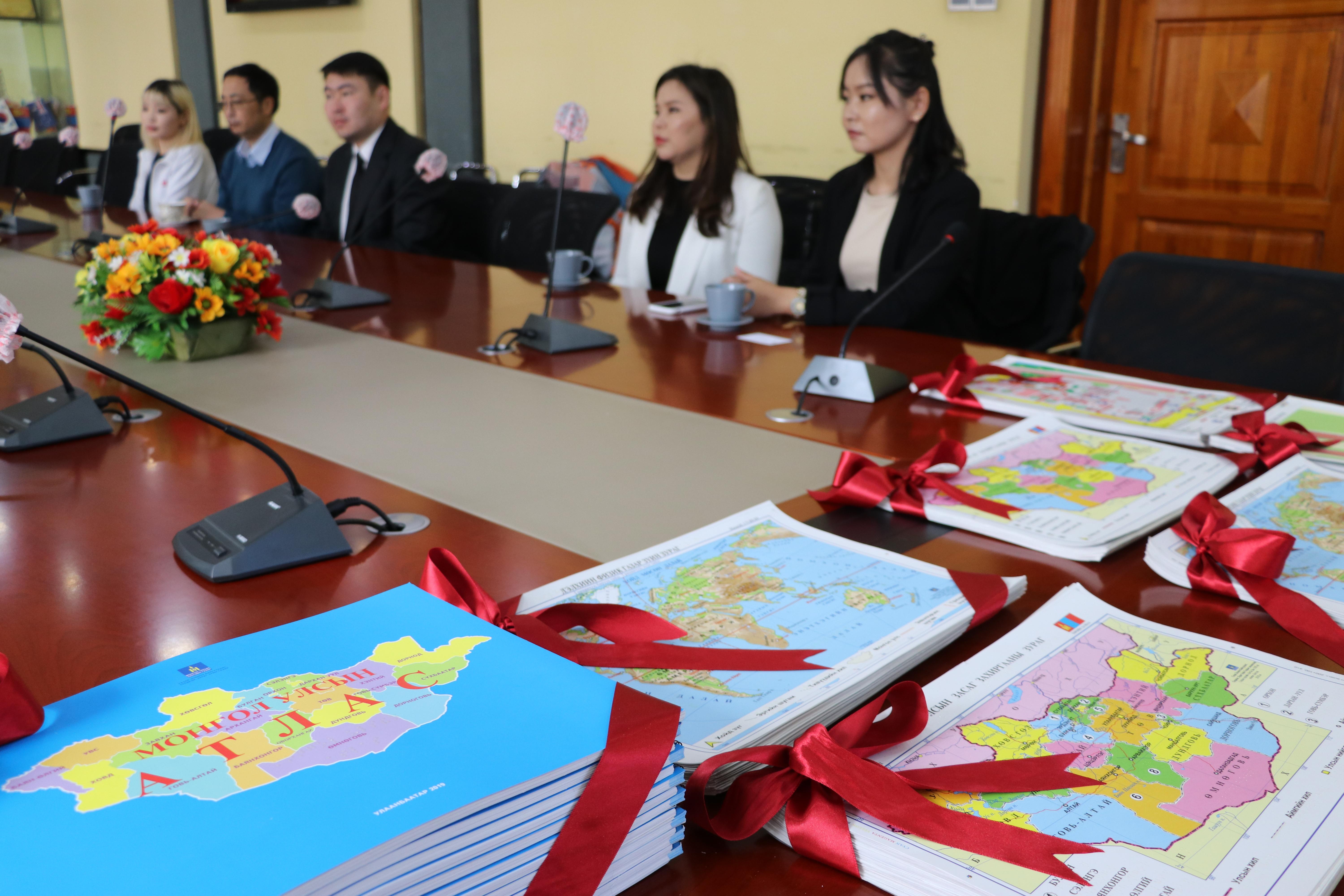
For the first time in Mongolia, the Ministry of Construction and Urban Development have organized the following 5 types of Braille maps and atlases for visually impaired people and students in 2018-2019 and published them in 2019-2020. These include:
1. Physical geography of the world,
2. Government map of Mongolia,
3. Overview of School No. 116,
4. Overview of the school yard 116;
5. Atlas of Mongolia showing 21 aimags and the capital city.
The Braille atlas was compiled on a scale of 1: 200000-1: 1700000 with the content of 21 aimags, the capital city border, soum border, soum center, major rivers and lakes and their names.
Increase your knowledge of geography by recognizing the continents, oceans, and major islands of the world on a world map.
The names of 21 aimags, the capital city, their centers and neighboring countries are marked in Braille on the administrative map of Mongolia, which provides an opportunity to know the shape, size and location of the aimags.
Visually impaired students were able to walk from the bus station to school using the Braille Map of the 116th School, and were able to walk alone in the schoolyard using the Braille Map of the 116th School Yard.
Braille maps and atlases are tailored to the specific needs of the visually impaired, and the names are written in Braille for the visually impaired, as well as in bold and capital letters for the visually impaired.
Braille atlas was made using methods and technologies that meet international standards.
The Agency is handing over 15 Braille atlases and 227 Braille maps of 4 types through the National Agency for the Development of Persons with Disabilities to the Mongolian National Association of the Blind and the 116th Special School for Visually Impaired Children.
As a result, visually impaired people and children have the opportunity to get acquainted with the world, Mongolia and their shapes and sizes through Braille maps and atlases.