Open Spatial Data
Open data in the field of land management, geodesy, and cartography has begun to be posted on the United State Open Data Portal.
In the 21st century, where technological progress is developing by leaps and bounds, by uploading any data and information to the public in the Internet environment, not only does it create the conditions for development at all levels, but it also gives equal opportunities to everyone around the world to use it and create new data and information.
It is important to support innovation with the help of open data, ensure full participation of stakeholders and confirm transparency in the framework of the goal of sustainable development in economic, social and environmental sectors.
On May 23, 2020, the government launched the Unified Open Data Portal of Mongolia in order to introduce "usable and redistributable" data accumulated by government institutions to the needs of citizens and the public.
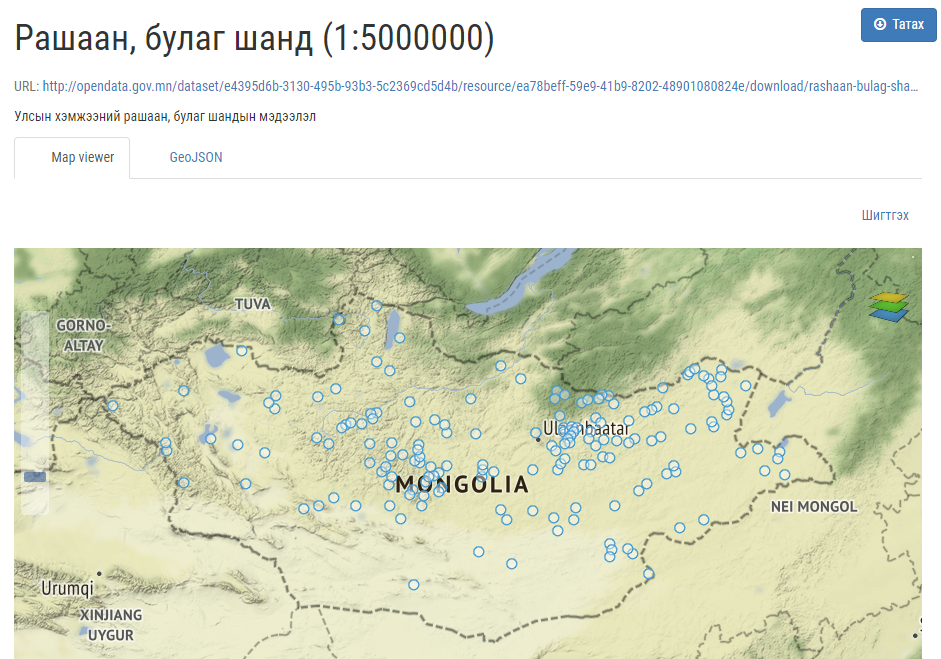
The Agency has started uploading its open data. The portal has uploaded 11 types of research reports and 12 basic spatial data.
Open data can be viewed and used by visiting the following link http://opendata.gov.mn/


