
-
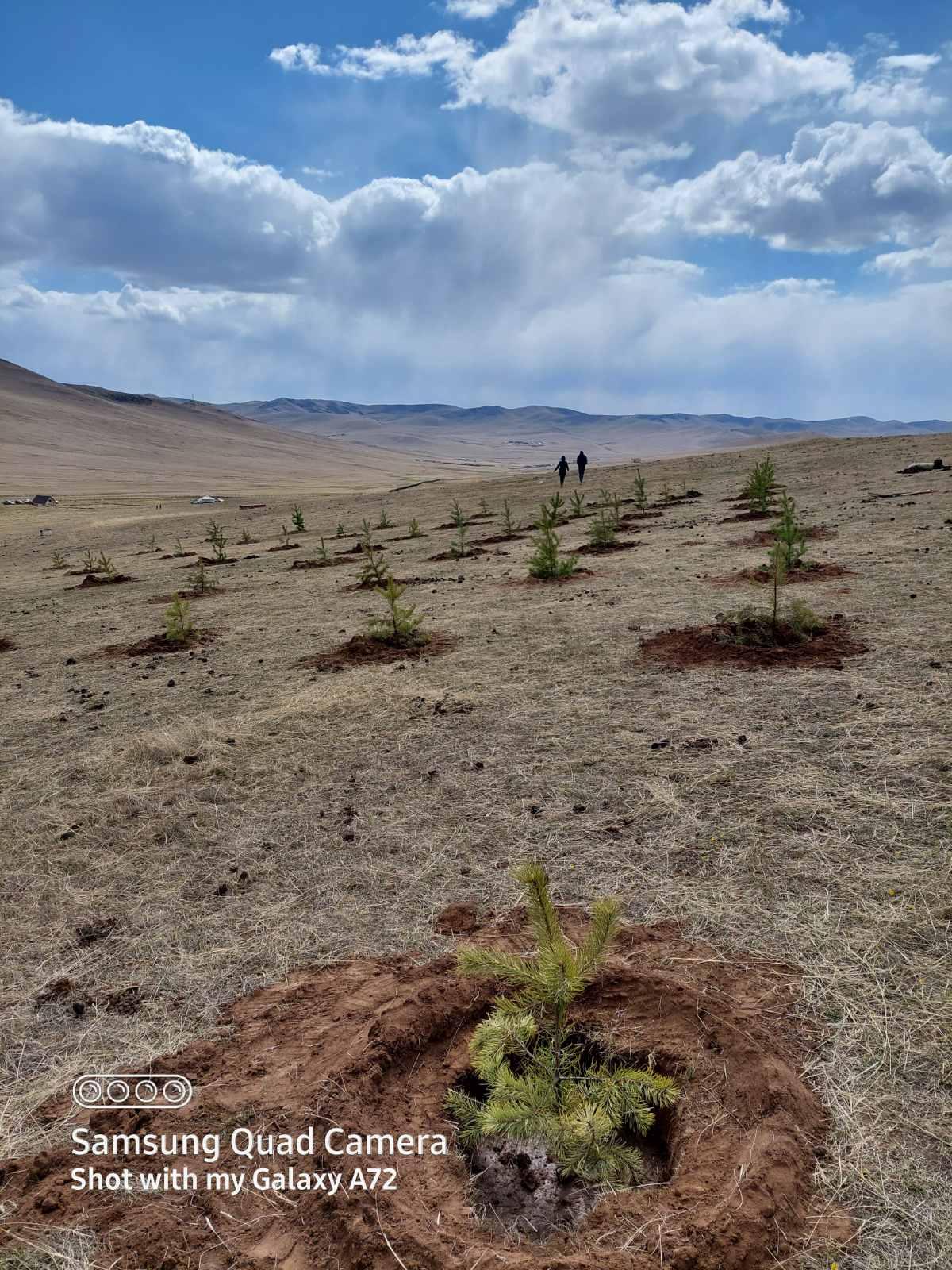
2022.05.16
2022.03.25
-
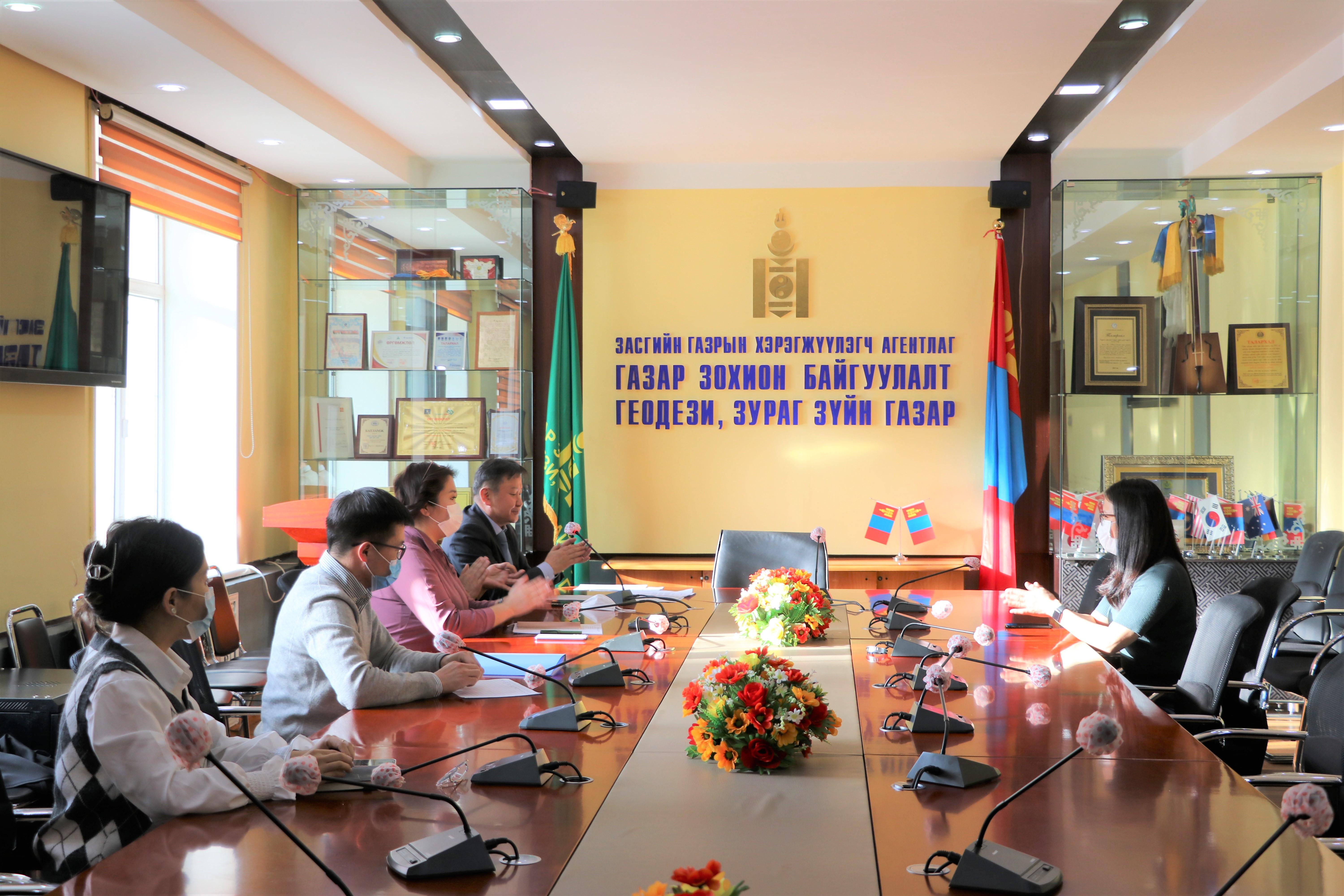
Anti-corruption activities
Web systems
-
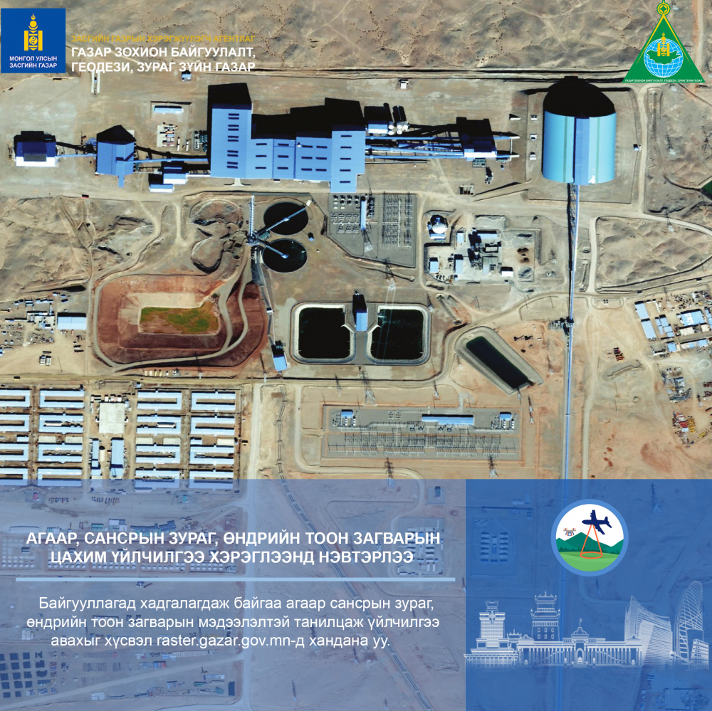
Aerial and satellite imagery database
-
Convert between coordinates
-
Geoportal /Online Spatial Data Infrastructure System/
-
INTEGRATED NATIONAL LAND MANAGEMENT SYSTEM
-
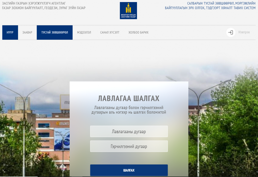
LICENSING SYSTEM FOR PROFESSIONAL ORGANIZATIONS
-
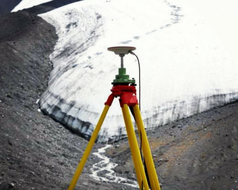
MONPOS - GNSS online processing system
-
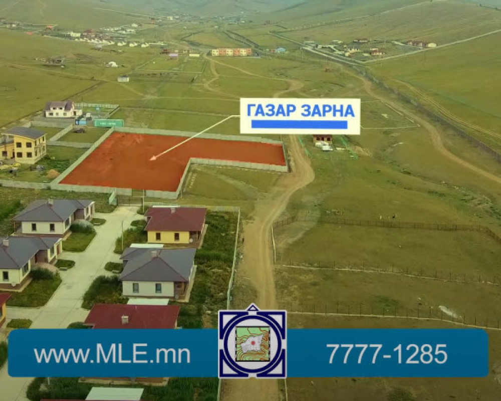
Online land exchange system
-
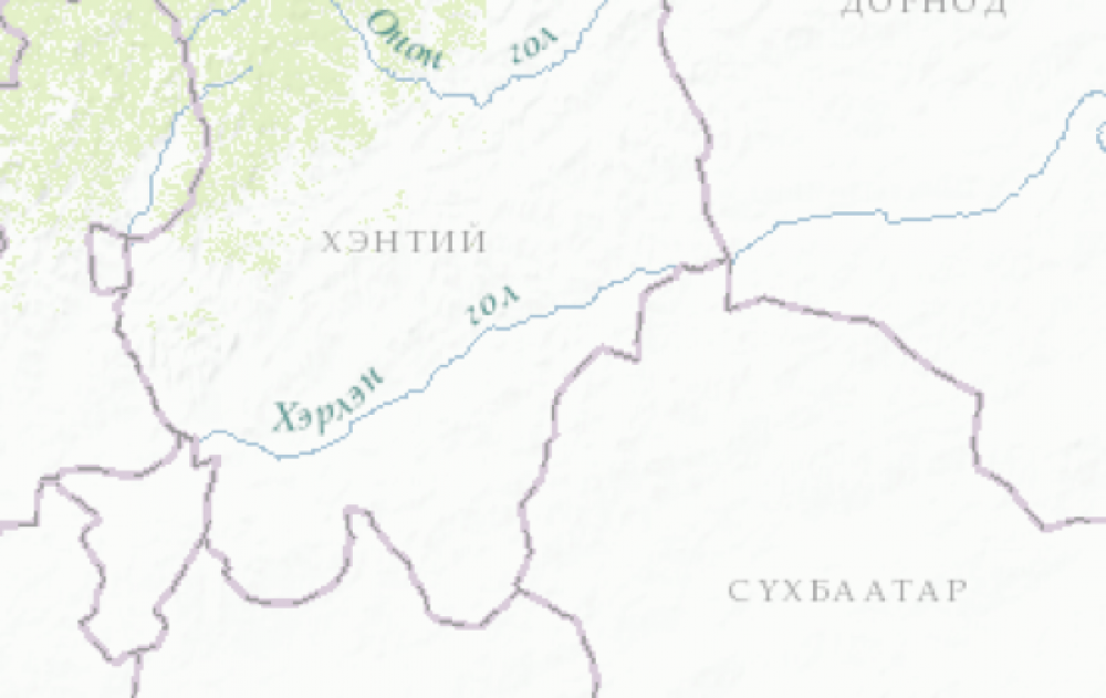
Search by geographical name and address
-

Urban development cadaster


Twitter холбоос
Youtube холбоос
LinkedIn холбоос