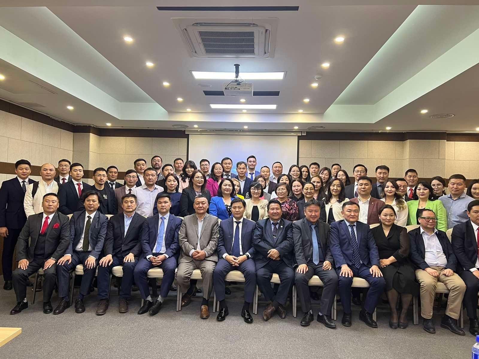
“MODERN CADASTRE-20” CONFERENCE HAS BEEN ORGANIZED
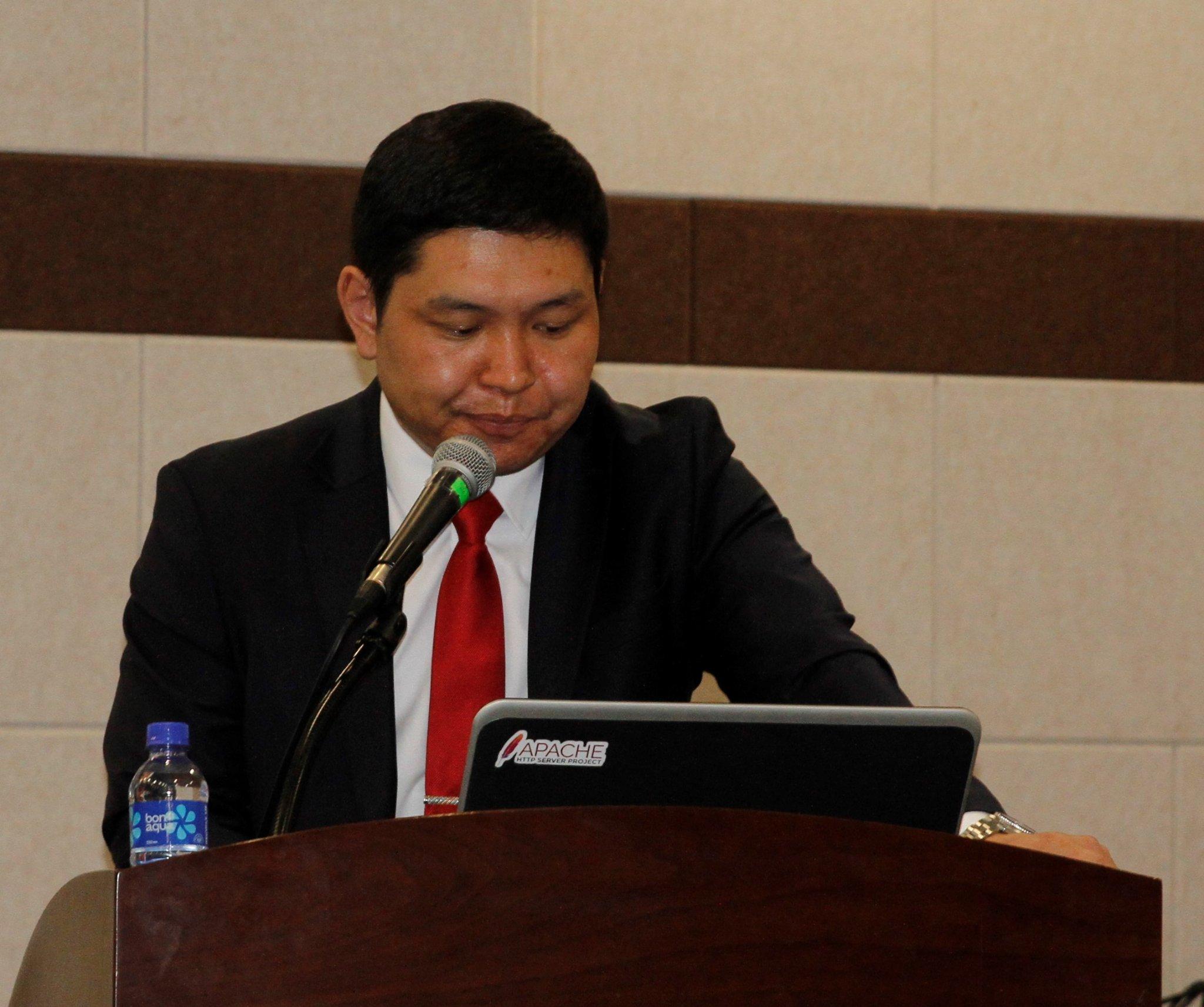
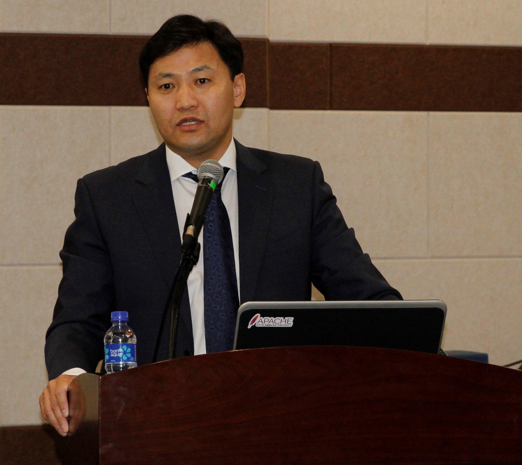
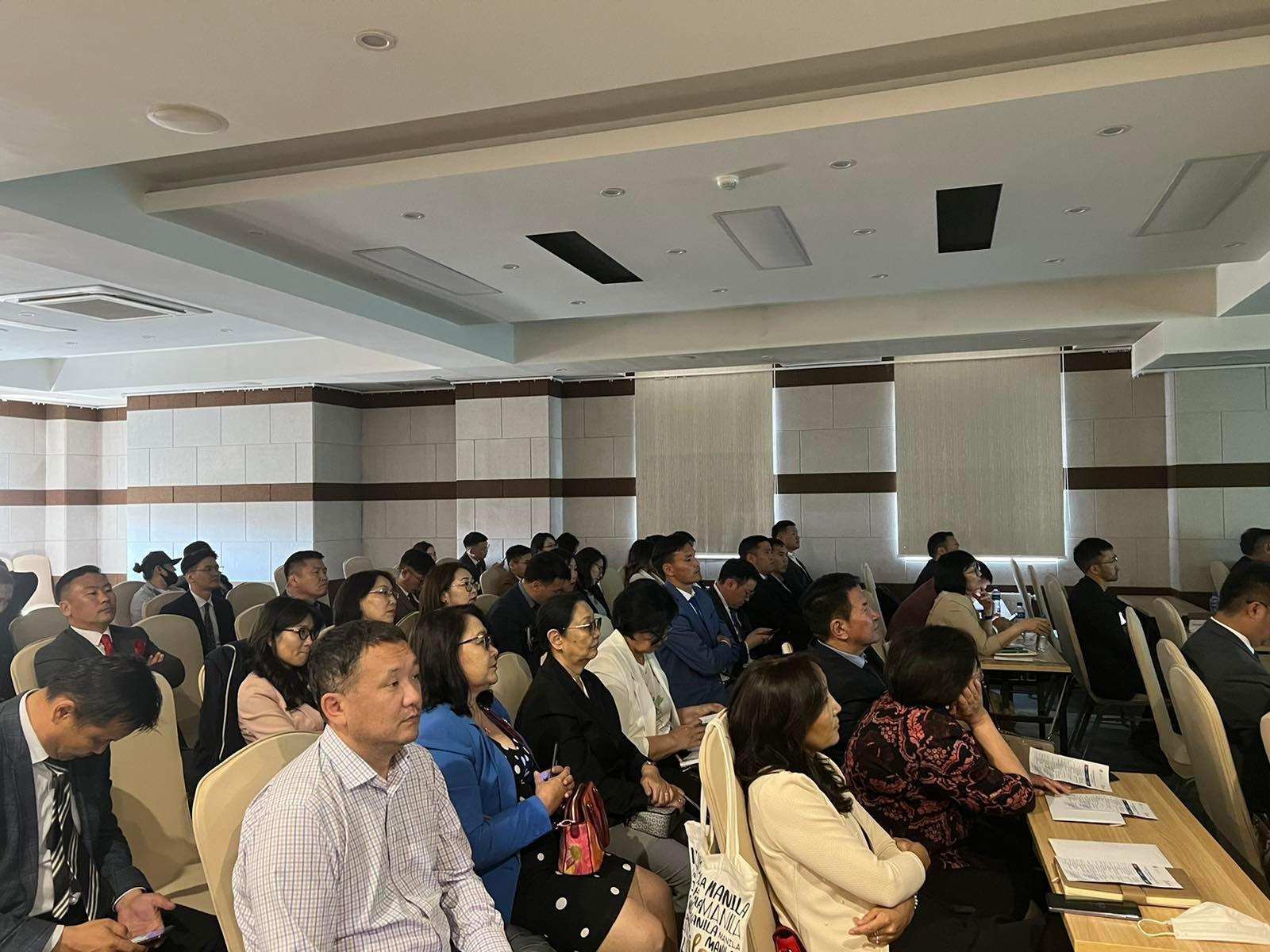
The conference was attended by representatives of the Ministry of Construction and Urban Development, the Ministry of Nature, Environment and Tourism, the State Registration Agency, public and private sector professors, scientists, doctors and specialists in cadastre since 2002.
The conference focused on the current state of Mongolia's cadastral sector, 20 years of development, and major future actions.
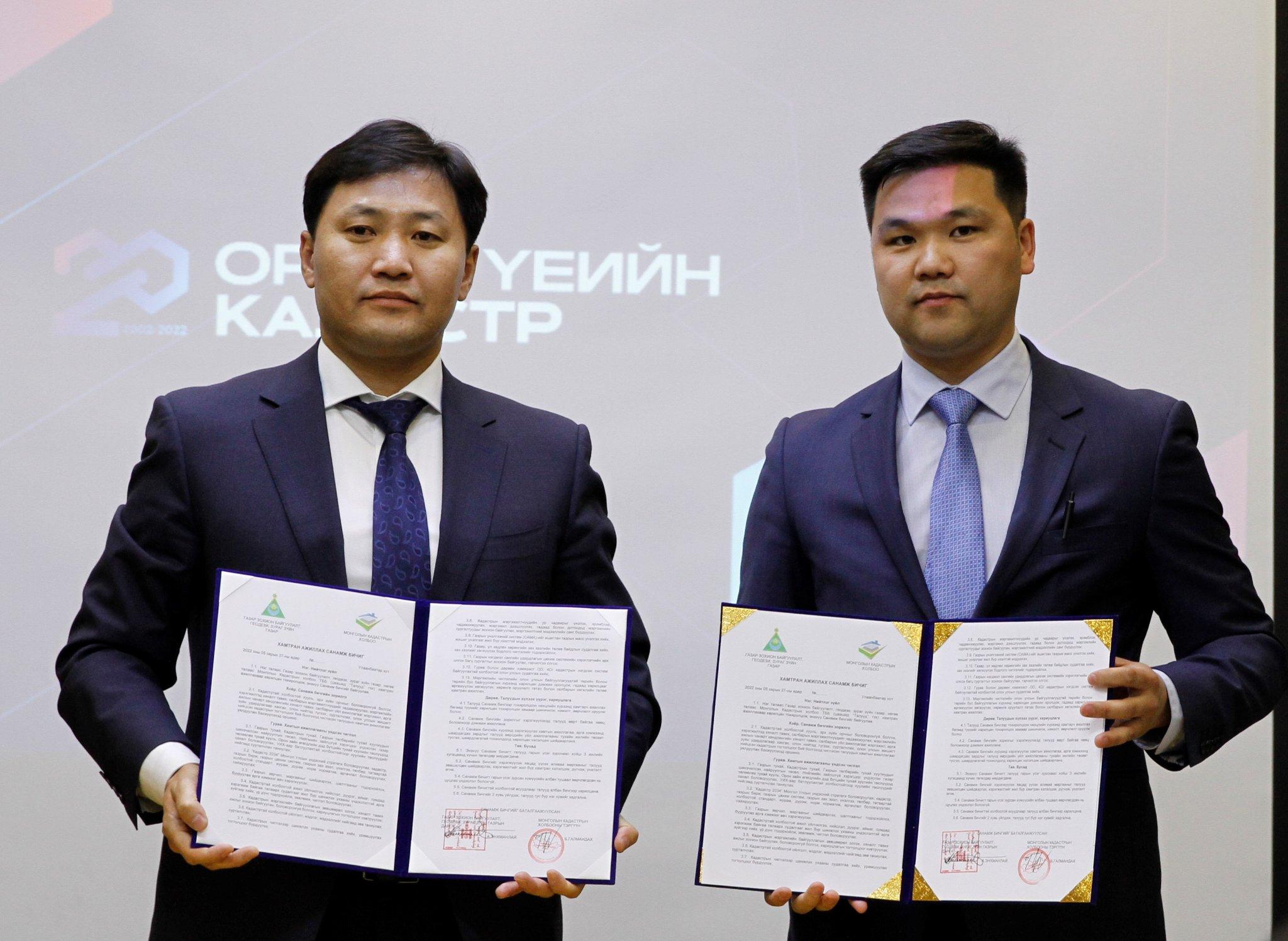
In addition, the Agency in cooperation with the Mongolian Cadastre Association, A Memorandum of Understanding was signed with the aim of strengthening cooperation between the parties. MOU is aimed at improving the legal environment, monitoring implementation, building the capacity of industry professionals, providing professional and methodological guidance, and disseminating and promoting cadastral systems in line with international standards.
The conference provided 13 recommendations, including the development of cadastral policy documents, the improvement of the legal environment, and the introduction of advanced technologies used worldwide.
For example:
1. To develop and approve the “Cadastre-2034” National Strategy of Mongolia to be followed in the field of cadastre in Mongolia until 2034 in accordance with the “Vision-2050” long-term policy document and the “Cadastre-2034” international declaration and reflect it in state policy and direction, organize measures to be implemented and report their implementation to the International Federation of Surveyors;
2. Develop and improve cadastre-related standards, procedures, rules, norms and methodologies, and monitor their implementation in cooperation with non-governmental organizations;
3. To have non-governmental organizations take measures to resolve land disputes and disputes, identify their causes and reduce them;
4. Organize and improve the licensing and supervision of professional cadastral organizations, and introduce a system of accountability.
5. Conduct annual research on cadastre-related services in the capital city, districts, aimags and soums using scientifically based methodologies, determine the results, and develop recommendations and guidelines;
6. Properly introduce and promote the concepts, knowledge and information related to cadastre to the society;
7. Establish a system for conducting and rewarding scientific research in the field of cadastre;
8. Assess, prioritize, build the capacity of specialists, improve their professional skills, organize professional trainings at home and abroad, and create a database of specialists;
9. Conduct mass land assessments using the Land Appraisal System (CAMA) and publicly report benchmarks annually;
10. Conduct a study on the state of the land and real estate market and determine the policy direction for market development;
11. Organize a set of trainings and issue certificates for users of the online land management system of the Integrated Land Classification Database;
12. Conduct international research related to the establishment of integrated three- and four-dimensional (3D, 4D) cadastral systems;
13. Mutually support and cooperate with international professional organizations within governmental and non-governmental organizations to expand foreign relations, attract investment and develop the sector.