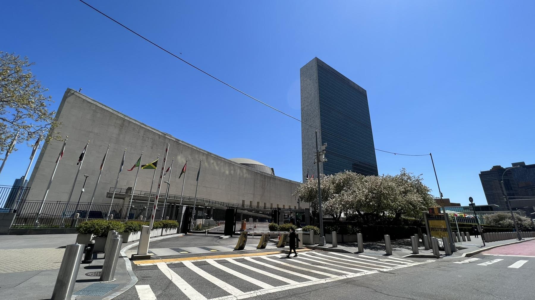
The First Plenary Meeting of the High-level Group of the Integrated Geospatial Information Framework was held in New York
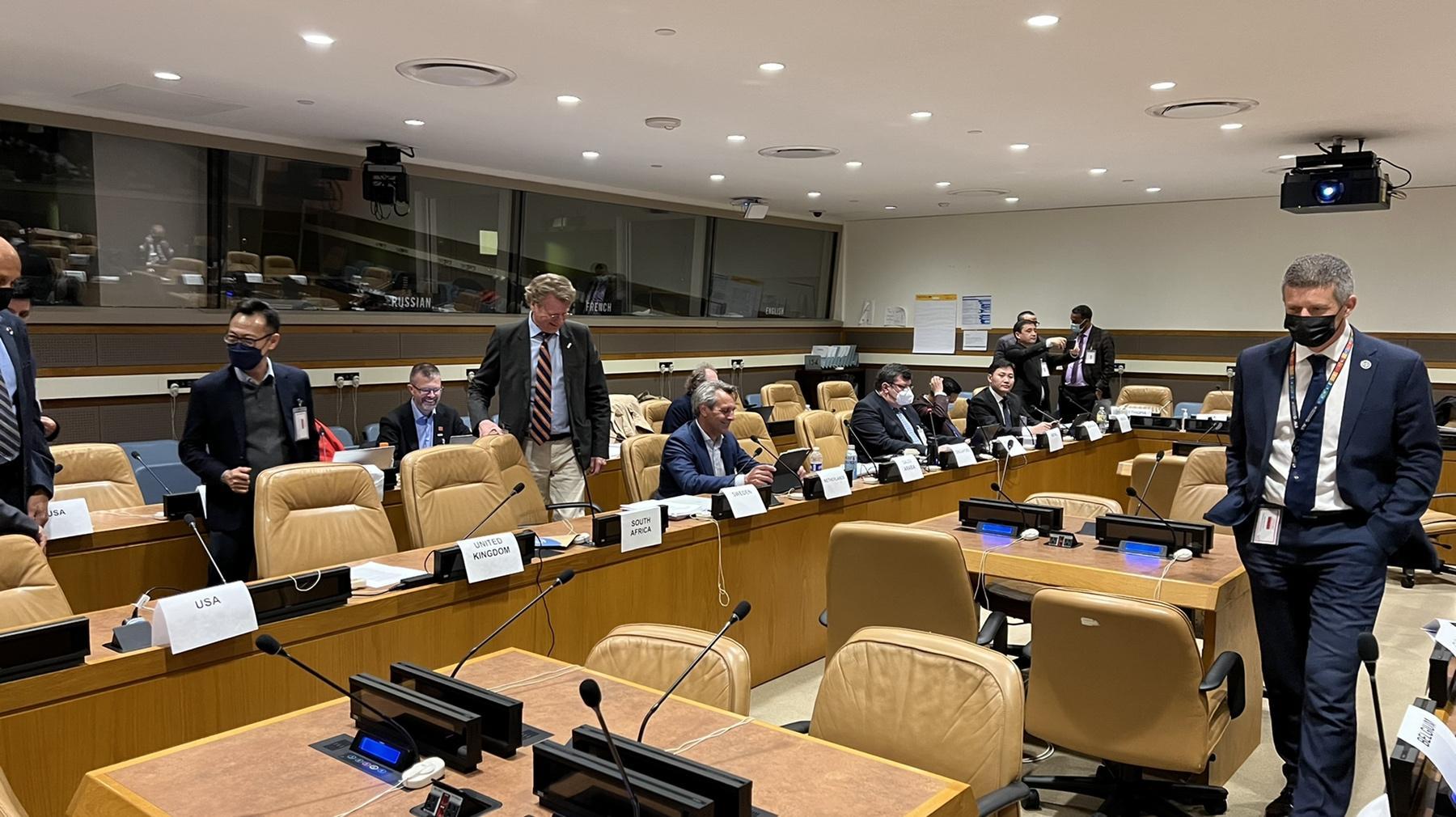
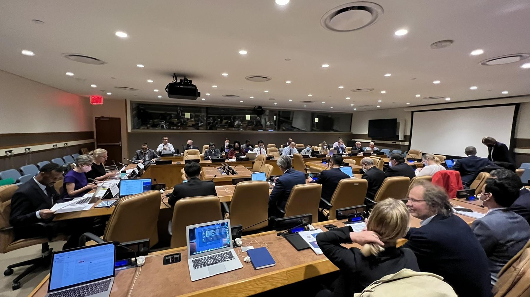
The First Plenary Meeting of the High-level Group of the Integrated Geospatial Information Framework was held from April 26 to 28, 2022 in New York, USA. The meeting was attended by a total of 48 participants from 24 countries and 5 organizations, including members of the UN Committee of Experts on Global Geospatial Information Management and members of the High-Level Group on the Geospatial Information Framework.
The meeting was attended by a total of 48 participants from 24 countries and 5 organizations, including members of the UN Committee of Experts on Global Geospatial Information Management and members of the High-Level Group on the Geospatial Information Framework.
The main purpose of the meeting was to exchange views with the members of the high-level working group, relevant departments of the Committee of Experts on Global Geospatial Information Management, and international experts, and to discuss the challenges, and to raise awareness of the importance of Integrated Spatial Information Management and to identify priorities for achieving the Sustainable Development 2030 Concept and Objectives.
The following documents were also discussed and approved at the meeting. These include:
• 2022-2023 Action Plan of the High-Level Integrated Geospatial Information Framework;
• Draft resolution to be submitted to the UN Economic and Social Council from the “First Summit of the Common Space Information Framework”;
• Report of the Global Geospatial Information Management Advisory Committee to the United Nations Economic and Social Council.
In addition, a report on the implementation of the 1819D project “Strengthening Spatial Information Management Capacity in Developing Countries to Implement the 2030 Agenda for Sustainable Development” was presented to the World Bank Experts and members of the Committee of Experts on Global Geospatial Information Management.
Our organization is a member of the United Nations Committee of Experts on Global Geospatial Information Management and has submitted comments on the above-mentioned documents and provided information on the implementation of the 1819D project “Strengthening the Spatial Information Management Capacity of Developing Countries in the Implementation of the 2030 Agenda for Sustainable Development”.